Applying the approach in your area
Applying the approach in your area
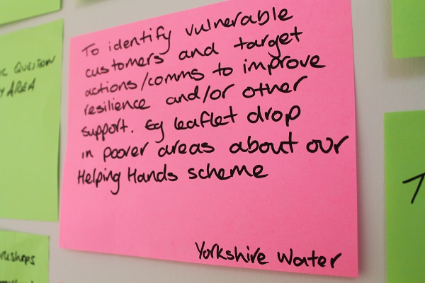
User feedback Leeds Climate Just event, Jan 2014 © Climate UK
The examples given illustrate how you can analyse the maps and underlying indicators to understand their relevance in different contexts. You can apply a similar approach to explore climate disadvantage in your own area.
Please refer to the map tool. You can begin by:
- Identifying the issue of concern – whether river flooding, heat or surface water flooding.
- Reviewing the related map of flood or heat disadvantage.
- Selecting an area of interest. This can be informed by the maps or by local knowledge, e.g. established through partnership workshops.
- Looking at the drivers of disadvantage by examining social vulnerability maps for the same topic.
-
Understanding the related drivers of social vulnerability by building up a picture of the drivers of concern. This can be supporting by looking at the individual maps under the headings of:
- Characteristics of social flood vulnerability, i.e. susceptibility, ability to prepare, ability to respond, ability to recover and community support, followed by the compound indicators and their supporting variables.
-
Dimensions and indicators of social vulnerability heat, including:
- Sensitivity for personal factors
- Enhanced exposure for built environment factors
- Ability to prepare/ respond or recover for factors linked to people’s adaptive capacity.
- Using the maps to build up a local profile of the issues as a basis for identifying and discussing potential local responses with relevant stakeholders. This may also involve adding or replacing data in the light of new or refined information at the local level. See the Technical User Guide on how to do this.
- Referring back to the messages and information in the main Climate Just site in order to produce supporting evidence and inspire the development and design of local actions.

Built by:
![]()
© 2014 - Climate Just
Contact us