Climate justice, environmental hazards and community resilience (Newcastle)
Practice case study
Climate justice, environmental hazards and community resilience (Newcastle)

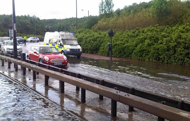
Image of surface water flooding in Newcastle in 2012 © Climate UK
Newcastle City Council used GIS to map data on pluvial flood disadvantage using the Climate Just framework to identify the relationship between social vulnerability and exposure to this hazard. It found that the socio-economic makeup of the City is a large factor in how much communities are affected when flooding occurs. This chimes well with local understanding; Newcastle’s experience of surface water flooding is that it develops very quickly, and is very sporadic, but brings severe consequences to the communities affected.
This has been used to provide evidence for the Joint Strategic Needs Assessment, as well as better informing approaches to community resilience and flood risk management.
Local Authority


